


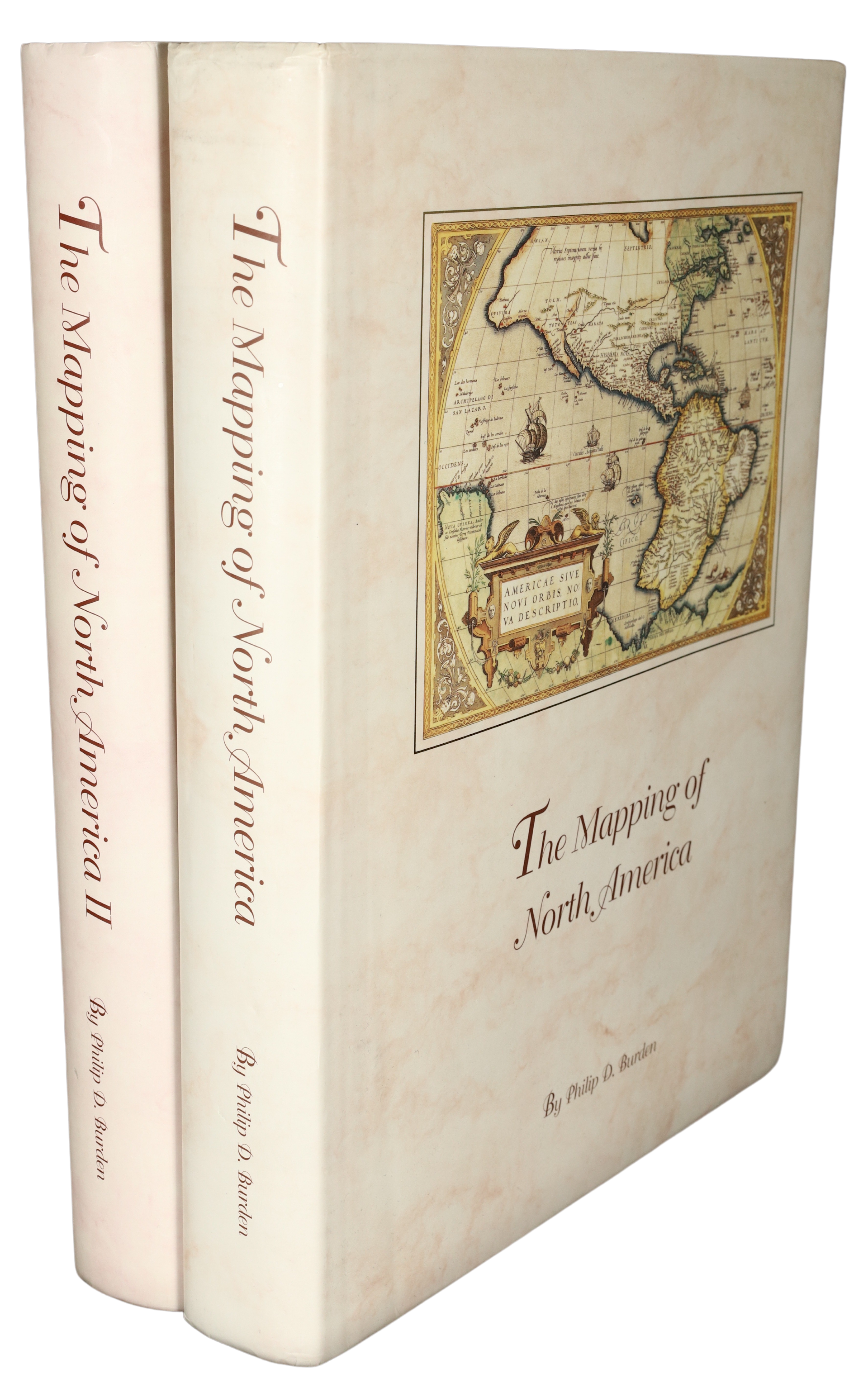
The Mapping of North America
by Philip D. Burden
Easily ordered from this website.
Our stock is distributed from both the USA and the UK for ease of delivery.
How to order – North & South America.
About the author
Philip D. Burden is a map dealer and historian. He has been buying and selling antique maps since 1979. The author has extensively travelled the world, especially North America and Europe. This has provided the opportunity for the research on which this book is based. The first volume of “The Mapping of North America” was published in 1996 to critical acclaim. It was a finalist in the quadrennial ILAB International Bibliography Prize in 1998.
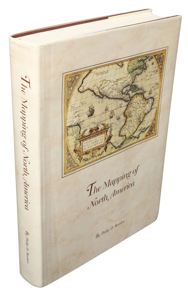
First volume
The Mapping of North America
by Philip D. Burden
A list of printed maps 1511-1670
The Mapping of North America documents the printed cartographic record of the discovery of the continent to 1670. The arrival of Christopher Columbus on the American continent in 1492 follows arguably the most influential European invention of the second millennium: printing by the use of movable type. The new technology’s application to printing images soon led to a desire for maps. These began to appear in the 1470s. For students of American history this background means that one of the most important geographical discoveries of man is fully documented in print. Much has been written on the printed word in relation to America, and many works exist on the cartography of it, however, none has attempted to comprehensively detail every known printed map.
Maps are one of the most fascinating forms of media. They condense into one document an immense amount of information. Each map is discussed in detail, with a description of both its publication and background history, including those of the cartographers, printers and publishers involved. The complicated network of sources is revealed. Also, if any explorations are recorded, a description of them is incorporated. Lastly, but by no means least, each entry is accompanied by a detailed photograph.
The book details all known printed maps, many previously unrecorded, depicting any part of North America (i.e. present day Canada and the United States). Arranged chronologically, the work is complemented by a foreword by Tony Campbell, a full bibliography, and various appendices and charts including a title index and a list of first depictions in maps.
608 pages, 270 x 365 mm., bound in burgundy cloth with colour dustjacket. With 410 map entries, 11 colour plates and 418 black and white photographs. ISBN 0 9527733 0 9.
Prices cloth bound, $195 (UK £120). Limited editions of half leather are available for $400 (UK £225).
“The Mapping of North America” was a finalist in the quadrennial ILAB international Bibliography Prize awarded in 1998.
Foreword to the first volume by Tony Campbell, Map Librarian, British Library.
Introduction to the first volume.
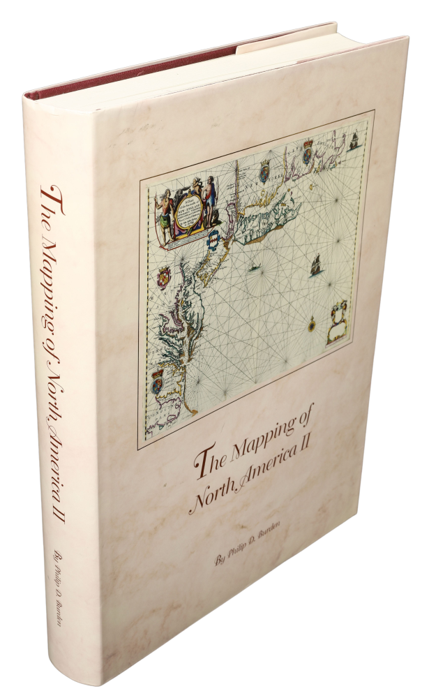
Second volume
The Mapping of North America II
by Philip D. Burden
A list of printed maps 1671-1700
An essential reference work for collectors, dealers, institutions and researchers.
The Mapping of North America II continues on from the first volume in documenting the printed cartographic record of the discovery of the continent from 1670 to 1700. Much has been written on the printed word in relation to America, and many works exist on the cartography of it. None however has attempted to comprehensively detail every known printed map.
By 1670 European knowledge of the outline of the continent of North America varied considerably. Through the period of this book knowledge of its coastline and interior river system would improve immensely. Maps are one of the most fascinating media. They condense into one document an immense amount of information. Each map in this book is discussed in detail, with a description of both its publication and background history, including those of the cartographers, printers and publishers involved. The complicated network of sources is revealed and, if any explorations are recorded, a description of these is included too. Lastly, but by no means least, each entry is accompanied by a photograph.
612 pages, 270 x 365 mm., bound in burgundy cloth with colour dustjacket. With 12 + 364 map entries, 12 colour plates and 392 black and white photographs. ISBN 978-0-9527733-1-3.
Prices cloth bound, US $325 (UK £175).
Limited editions of half leather are available for US $525 (UK £285) and in full leather binding, boxed, for US $995 (UK £525).
Foreword to the second volume by Seymour I. Schwartz, author
Introduction to the second volume.